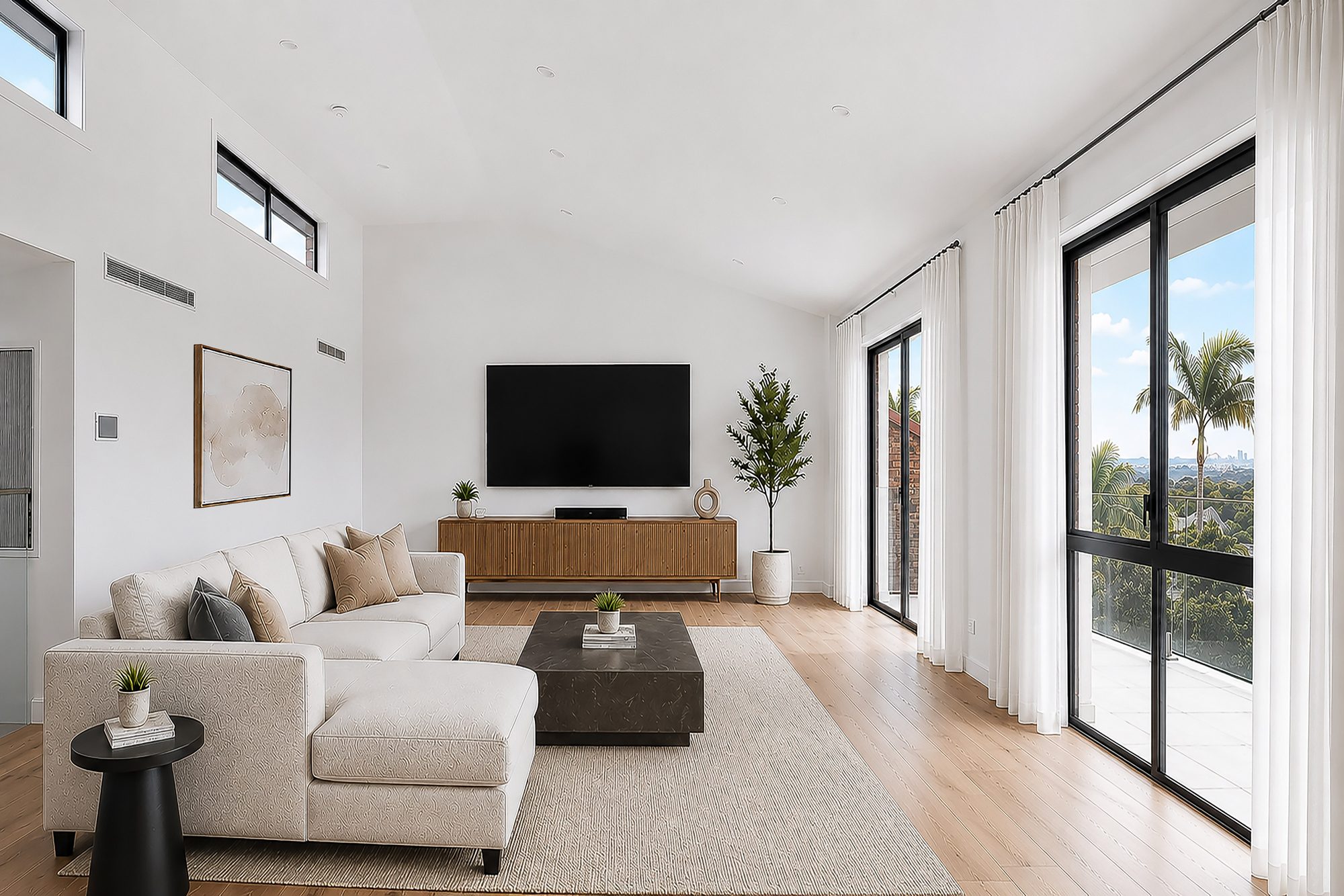
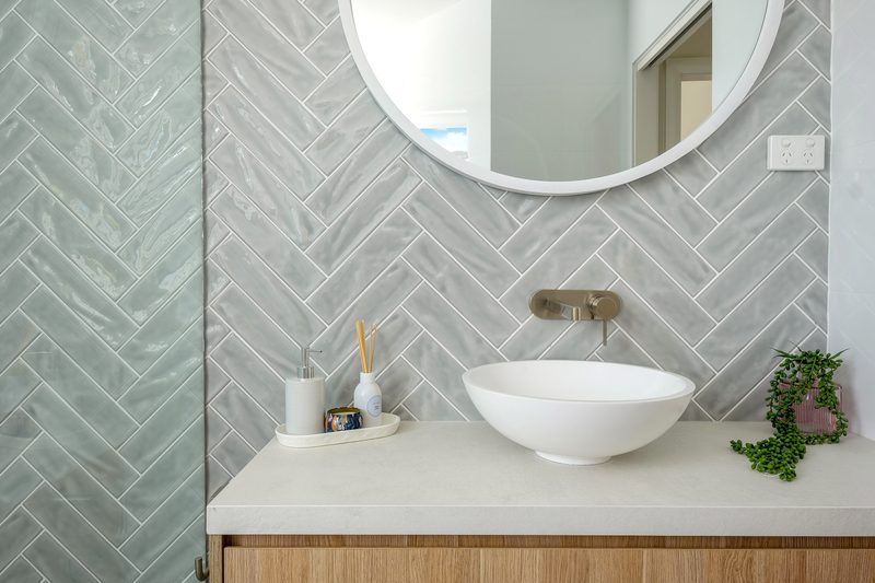
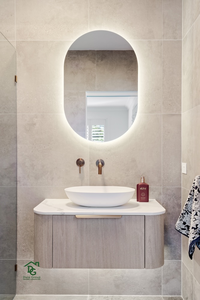
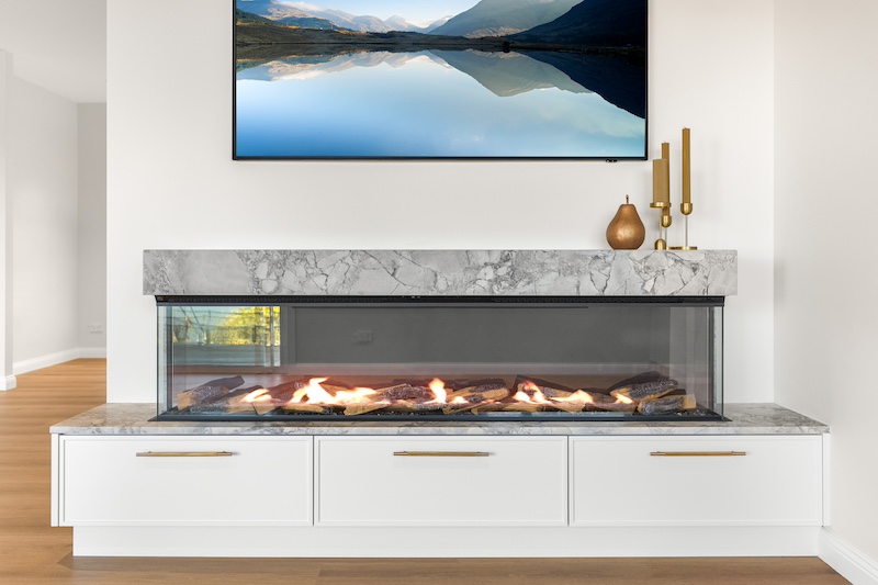
7 Reasons to choose Dura Group for you Home Extension
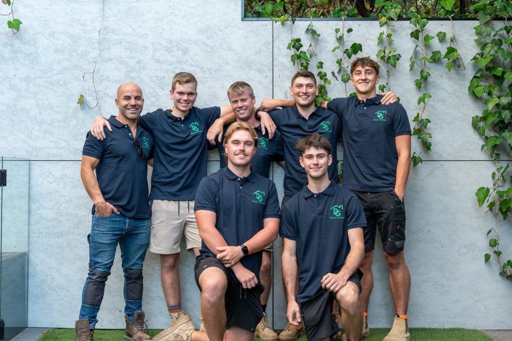
- Mark has over 25 years building experience and over 16 years in business
- We handle all your DA and CDC Approvals
- Fixed lump sum pricing and transparency with materials, no hidden costs
- Trusted, experienced sub-contractors for your project
- A personalised approach with a focus on your vision
- Seamless project management from start to finish
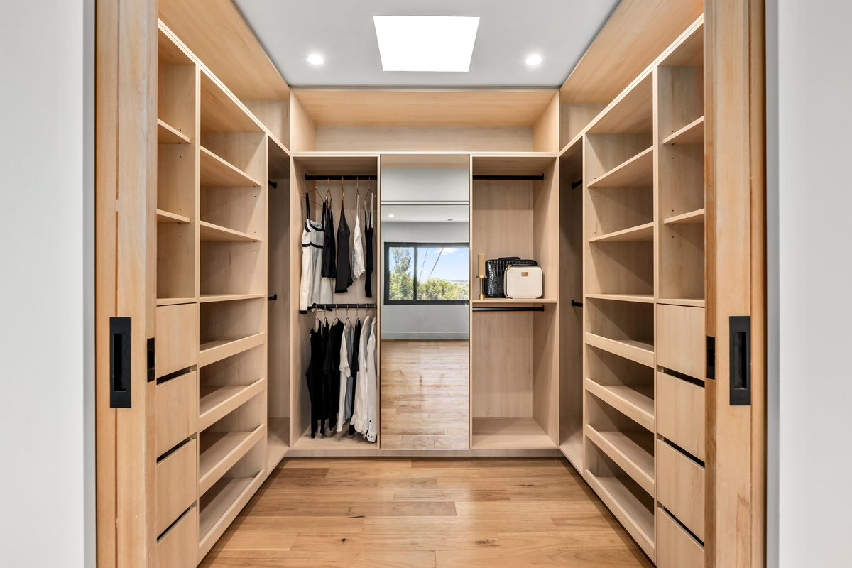
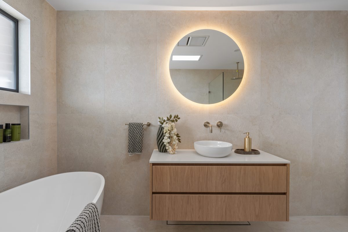
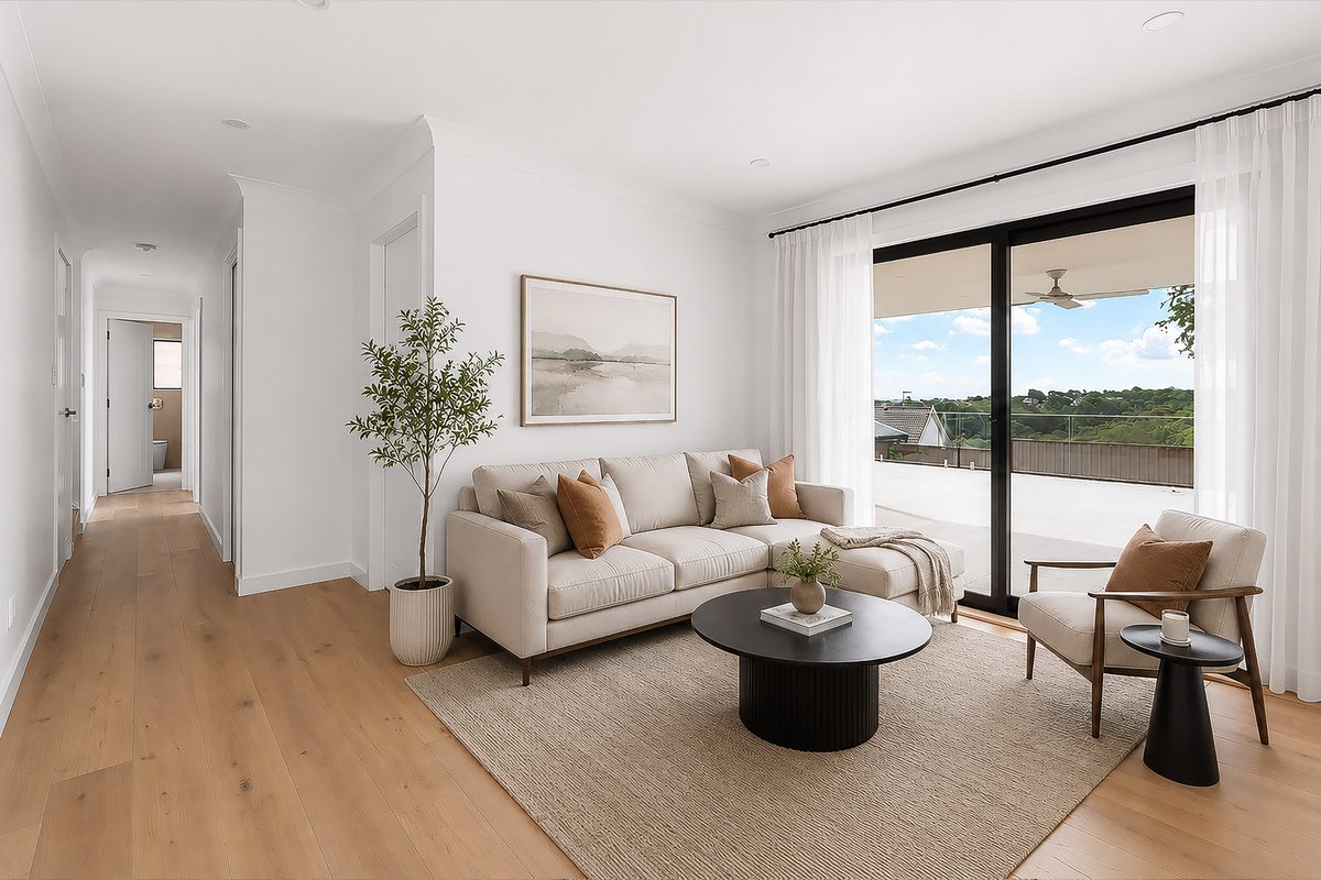
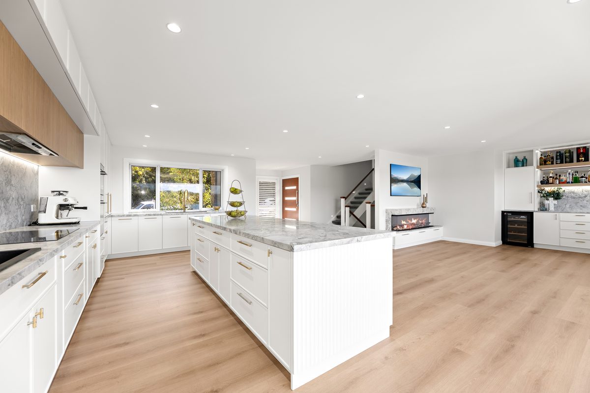
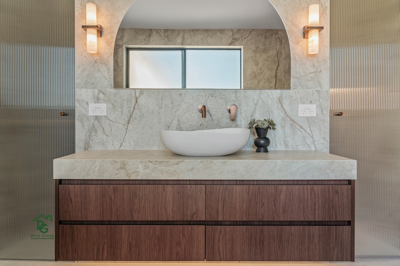
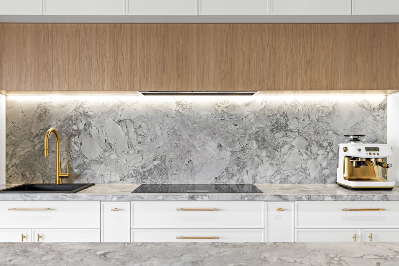
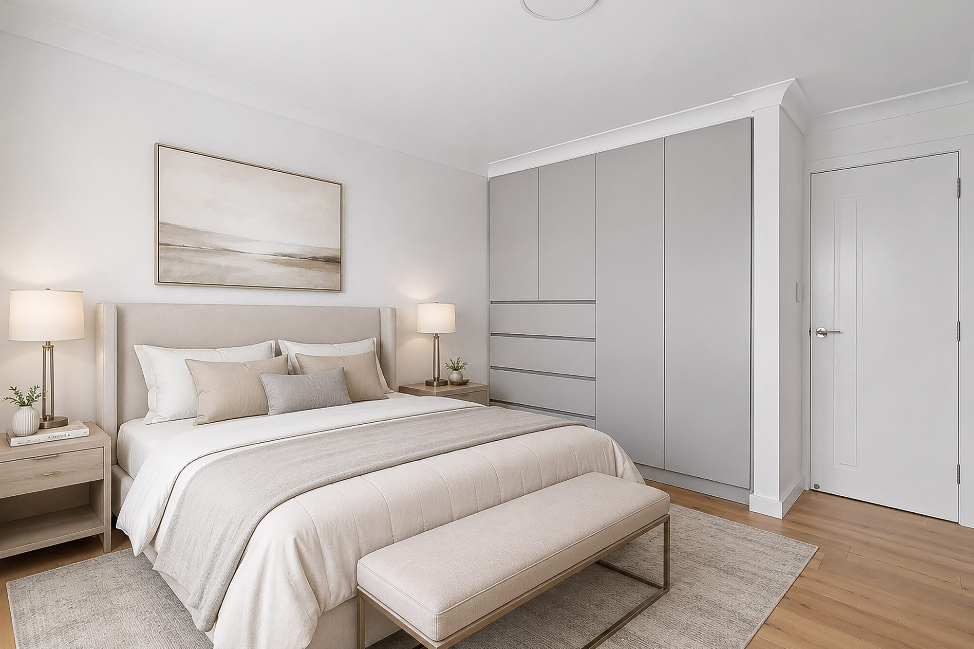
- Always ensuring we provide quality craftsmanship and functional design
Get In Touch With Us Today
Need Assistance with your Yowie Bay Home Extension?
Our Team is Ready to Assist! Just Fill in the Form Below